
With this being “Winter Weather Awareness Week” in North Dakota a lot of people are wondering what the forecast holds in store for the coming months.
The National Weather Service has hinted of a La Nina pattern which traditionally means colder and snowier conditions for the Red River Valley. KNOX Staff Meteorologist Mark Ewens says while that’s true – it’s not always the case. “Last winter was actually a moderate La Nina and we had one of the warmest winters on record. So there is that roughly 30% of La Nina winters that go in the opposite direction.”
Long-range models by the Climate Prediction Center suggest “equal chances” – or no specific temp or precipitation trends through January. Ewens that also fits a La Nina pattern “This year I think we will see more of an influence. A relatively warm/dry fall and moving past New Year’s more frequent cold snaps and an increase in snowfall.”
Grand Forks averages between 50 and 60 inches of snow during a typical winter season.
Minnesota will recognize Winter Hazard Awareness Week starting November 15th.


FOLLOW US FOR INSTANT UPDATES!


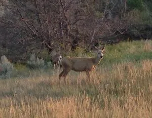
![]() (KNOX) – ENTER YOUR STORY HERE. Click the image on the left to replace. Be sure to use MEDIUM size and choose left alignment. Don’t forget to also add the image in featured media and select no image.
(KNOX) – ENTER YOUR STORY HERE. Click the image on the left to replace. Be sure to use MEDIUM size and choose left alignment. Don’t forget to also add the image in featured media and select no image.
FOLLOW US FOR INSTANT UPDATES!